Silvacom FMS™ consists of a set of cloud-based geospatial forest management applications and modules specifically engineered to facilitate the complete forest management process.
The applications and modules are accessible from anywhere, anytime; all you need is an internet connection, computer and log in. With best-in-class data security, routine backups and regular software updates; never worry about in-house infrastructure failures or server updates ever again.
Silvacom FMS also connects with other third-party applications, truly bringing together the complete management of your forest.


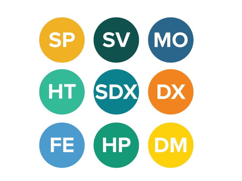
A comprehensive forest planning application for planning and managing all tactical and operational data, including cut blocks, roads, structures, events, and more - with full spatial editing, geoprocessing, reporting, and much, much more.

A general-purpose web GIS for viewing and exploring all spatial data layers hosted within the system. An easy-to-use web utility that puts geospatial information into the hands of both technical and non-technical users.

A general-purpose file storage system for storing and retrieving documents within the system. This repository is secure and user-managed and used as a document management platform for storing generated maps and reports using Silvacom FMS.

The Data Management application provides a platform to interact with our Data Extract, Maps Online and Spatial Data Exchange modules, all conveniently aggregated for ease of use.

A geospatial silviculture planning and reporting tool. The Silviculture Planner application includes automatic generation of prescribed silviculture activities, full spatial editing capabilities for activities, import of spatial data from external sources, and input utilities for survey data.
A database interface for displaying and managing key dates and related block attributes (such as volume information at the block harvesting stage).

An effective and intuitive web application for users to easily generate common "canned" production maps required for the forest management operations. Maps are purpose-built and designed in consultation with our clients. High-quality cartographic products are produced using the latest Esri technology.

An easy-to-use utility to extract spatial data from Silvacom FMS for offline GIS geoprocessing, mapping or custom analysis and reporting.

Spatial Data Exchange is a simple to use check-in/check-out tool to exchange spatial data between a user’s desktop GIS system and the Silvacom FMS data warehouse.
With Silvacom FMS you not only gain access to our comprehensive cloud-based forest management software, but you also access our responsive and effective customer support team. Our renowned team includes technical gurus and forestry professionals.
We strengthen your team because we’re part of it.
Our clients have great things to say about Silvacom FMS
Talon Flaten
Gorman Group
Stefan Szabo
Mercer Peace River
Dave Cobb
Edfor Cooperative
Andrew Gorman
Gorman Group
The latest news, event attendance alerts and product updates from the Silvacom FMS team